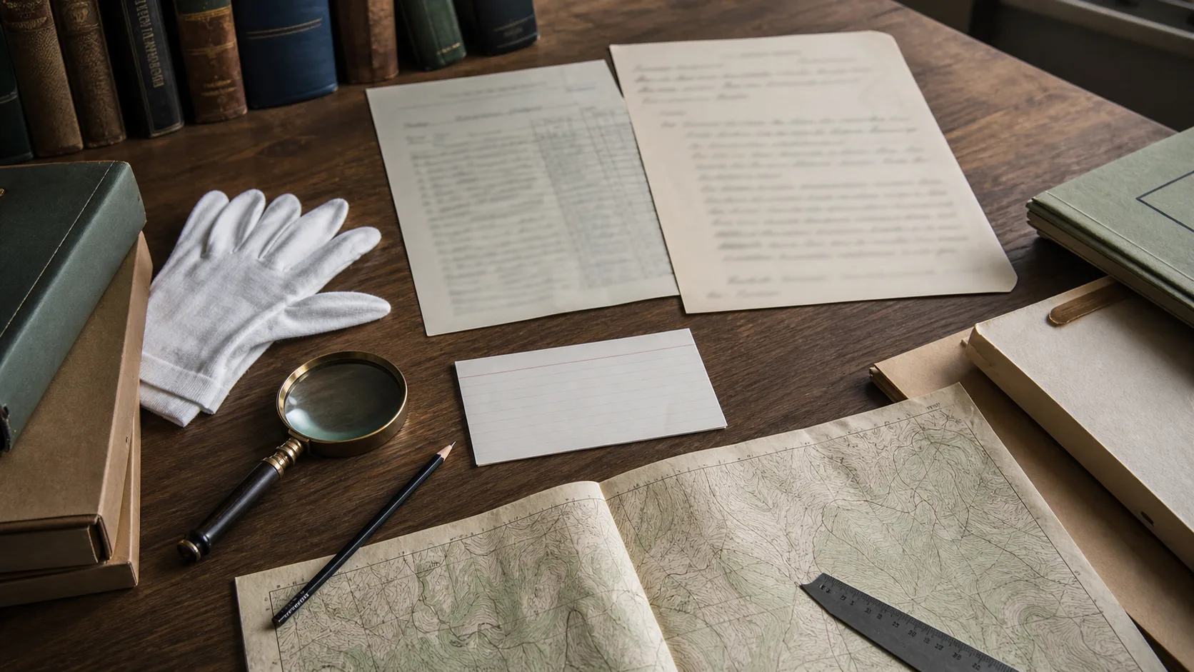
A People-First Primer on Utah Cemetery Records
Cemetery records can connect a family story to a place, but each record type was created for a different purpose and carries its own gaps.
All 18 substantive essays in one human-curated index. No scraped biographies, empty tags, or one-paragraph doorway pages.
Cemetery records can connect a family story to a place, but each record type was created for a different purpose and carries its own gaps.
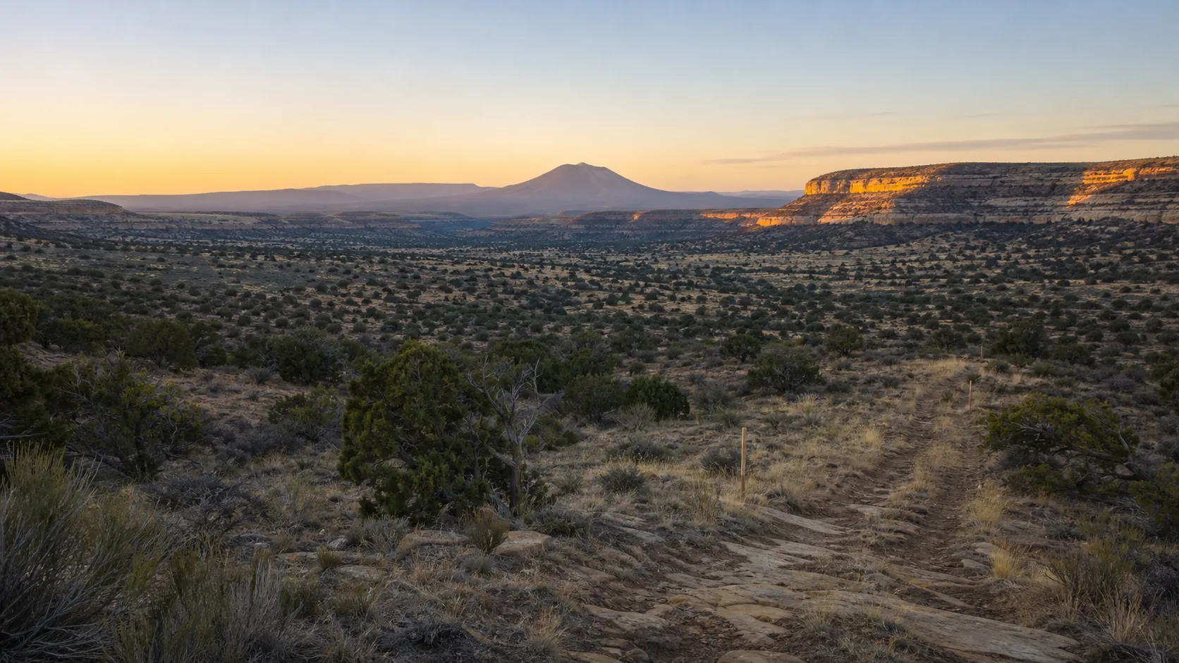
A quiet field guide to preparing for a cemetery visit, moving carefully through the landscape, and leaving every place as you found it.
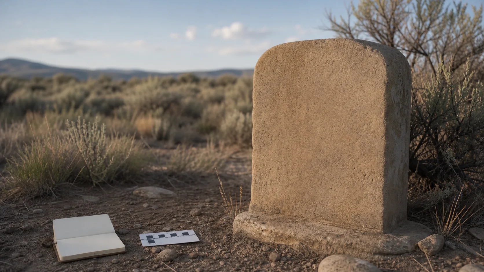
Trustworthy local history depends less on sounding certain and more on showing where a claim came from, how current it is, and how it can be corrected.
A step-by-step method for turning scattered dates and documents into a transparent chronology that another researcher can check.
How to build an interview around clear expectations, continuing choice, narrator review, and responsible long-term access.
A reliable conclusion comes from understanding why records were created, comparing independent evidence, and documenting disagreements rather than hiding them.
A map layer can organize places and records beautifully, but its symbols remain dated data—not live promises about access, availability, or authority.
One record follows rights in a space; another records a burial event. Confusing the two can create false family-history conclusions.
A respectful workflow for making useful documentary photographs while protecting fragile places, grieving visitors, and personal context.
A field plan for heat, cold, wind, storms, sparse shade, uneven ground, and the quiet decisions that keep a research outing safe.
Why observation, documentation, permissions, and condition planning often protect historic grave markers better than a well-meant cleaning attempt.
A practical framework for honoring memory online without exposing living people, sensitive records, or more personal data than the story requires.
A repeatable method for transcribing difficult inscriptions with changing light, careful photography, and an honest record of uncertainty.
A county planning document offers a useful portrait of Veyo’s landscape and settlement pattern, provided we treat it as a dated source rather than a live community dashboard.
Federal tax classification can identify a nonprofit cemetery category, but it does not answer every question about history, ownership, services, or donations.
A Utah State University Extension comparison of Veyo across decades shows the value—and the limits—of using matched photographs to study landscape change.
A transparent way to compare incompatible dates, names, places, and relationships without hiding uncertainty or forcing a premature answer.
Veyo’s county plan places a cemetery beside community park land, offering a window into how rural public spaces can share geography without sharing the same purpose.