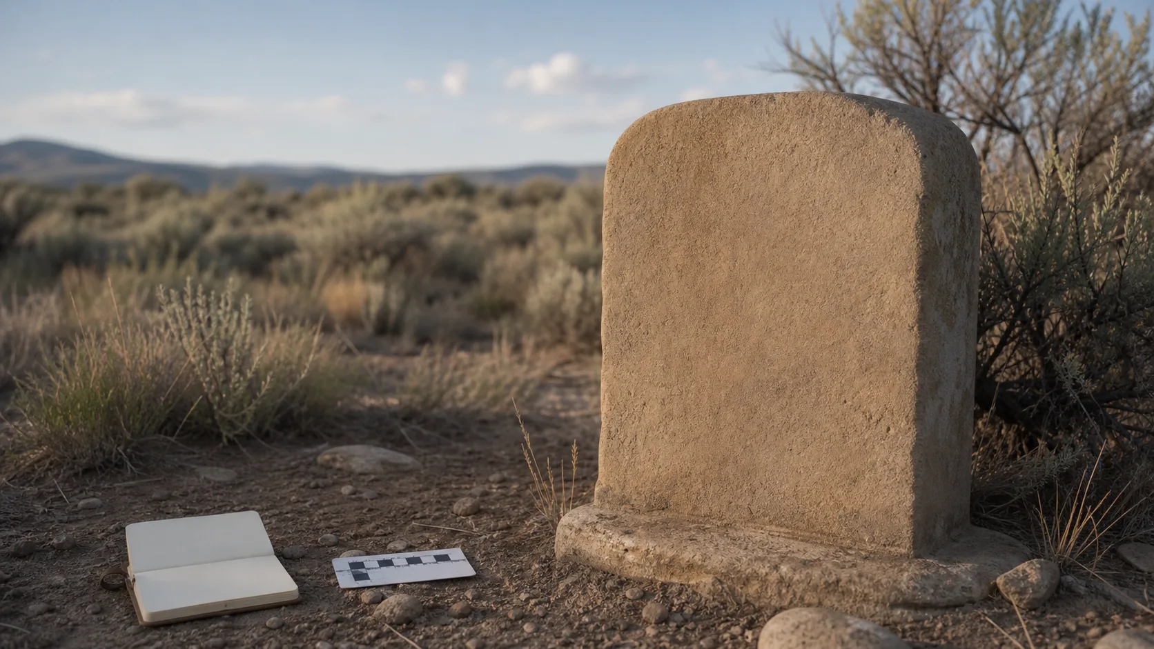
A cemetery and a park can sit beside one another and still ask very different things of a visitor. One is a place of burial, remembrance, family history, and quiet attention. The other may support recreation, meetings, play, or community events. Their proximity creates a cultural landscape: a setting whose meaning comes not only from separate parcels, but also from paths, views, boundaries, and the ways people move between them.
Washington County’s Veyo General Plan provides a documented example. In its section on cemeteries, parks, and recreation, the plan describes a cemetery toward the eastern side of Veyo and a park site next to it. It says the park had been developed by community residents and discusses both places within a larger tract that Washington County obtained years earlier under the federal Recreation and Public Purposes framework.
That paragraph is an important historical-planning source. It is not a current management agreement. Careful readers should resist turning a description of neighboring land into unsupported claims about who now owns, operates, schedules, or regulates either place.
What we know
The county plan explicitly links the cemetery and an adjacent park in its discussion of local public spaces. It treats the two sites as part of a broader conversation about recreation land and future community facilities. The document also explains that much of a roughly 40-acre public-purpose tract lay across the road from the existing park-and-cemetery area.
The plan’s wording reveals several things about rural planning. Land can be acquired for a broad public purpose long before every future use is decided. Residents may improve a site through local effort even when formal governmental structure is limited. A park and cemetery can be discussed together for land-planning reasons without becoming the same institution.
The plan dates from 2011. Its value lies partly in fixing these relationships in time. It tells us how county planners and participating residents described the setting then.
Shared geography, distinct conduct
Neighboring spaces can produce practical and ethical tensions. Sounds that are ordinary in a recreation area may feel intrusive near a funeral or private remembrance. Parking that works for one use may affect access to another. A shortcut may look convenient while crossing ground where visitors expect quiet and restraint.
The solution is not to invent a list of local rules. Instead, visitors can follow broadly respectful principles until authoritative current guidance is available:
- recognize changes in tone when moving toward a memorial area;
- keep voices and devices quiet near people who are grieving or reflecting;
- stay on established routes and avoid stepping over markers or planted areas;
- supervise children with sensitivity to both recreation and remembrance;
- leave flowers, objects, vegetation, and stones as found;
- never assume that open-looking ground is available for play, parking, or gathering.
These are general courtesies, not a substitute for posted rules or instructions from the responsible entity.
Public-purpose land is not a shortcut to ownership claims
The county plan says the broader tract was obtained through a public-purpose process and discusses the possibility of transferring park land to a “body politic” if one existed. That history should not be rewritten as a definitive present-tense ownership statement.
Land status can change through deeds, boundary adjustments, agreements, or later governmental action. Maintenance can be performed by an entity that does not hold title. A nonprofit organization can have an administrative address near a site without owning the ground. Adjacent parcels can also have different responsible parties.
Anyone researching ownership should consult current county recorder and assessor records, then distinguish legal title from operations and maintenance. Even those records may require interpretation. A historical planning narrative is useful orientation, not a deed abstract.
The value of a cultural-landscape lens
Thinking in terms of a cultural landscape helps us ask questions that a simple location pin cannot answer. How does the road divide or connect the spaces? Which views link the cemetery to the valley? How do vegetation and shade influence use? Where do formal boundaries end and social expectations begin? Has the park’s design changed while the cemetery expanded or matured?
These questions can support responsible history, preservation, and public planning. They are most valuable when paired with dated maps, repeat photographs, meeting records, oral histories gathered with consent, and field notes that clearly state when observations were made.
The lens also reminds us that “community space” is not synonymous with unrestricted space. Cemeteries hold records and memorials tied to real families. Park improvements may reflect volunteer labor and local priorities. Writing should honor both without romanticizing either.
A responsible way to document change
A future study could compare the 2011 plan with current aerial imagery and official parcel data, then conduct an on-site walk only with appropriate permission. Photographs should emphasize landscape relationships rather than identifiable inscriptions. Notes should record date, weather, vantage point, and limitations. Interviews should explain how quotations will be used and offer a correction process.
Most importantly, researchers should keep observation separate from authority. Seeing an unlocked gate does not establish hours. Seeing an open area does not establish availability. Seeing maintenance work does not identify the employer or governing body.
What remains uncertain
The public sources reviewed do not establish current ownership boundaries, maintenance assignments, park programming, cemetery operating policies, opening hours, access routes, accessibility features, parking arrangements, or event schedules. They do not show whether the relationship described in 2011 has changed.
They also do not authorize claims that the cemetery is operated by Washington County, a park entity, or any other named body. The safest editorial position is to describe the documented 2011 land relationship, label it as historical planning context, and direct operational questions to a verified current authority once one is identified.
Sources
- Washington County, “Veyo General Plan” (see “Cemetery, Parks, and Recreation”): https://www.washco.utah.gov/wp-content/uploads/cdev/pdf/cgp/community-veyo.pdf
- Washington County Community Development, General Plan resources: https://www.washco.utah.gov/departments/community-development/general-plan/
- U.S. Bureau of Land Management, Recreation and Public Purposes Act information: https://www.blm.gov/programs/lands-and-realty/land-tenure/sales-and-exchanges/recreation-and-public-purposes-act