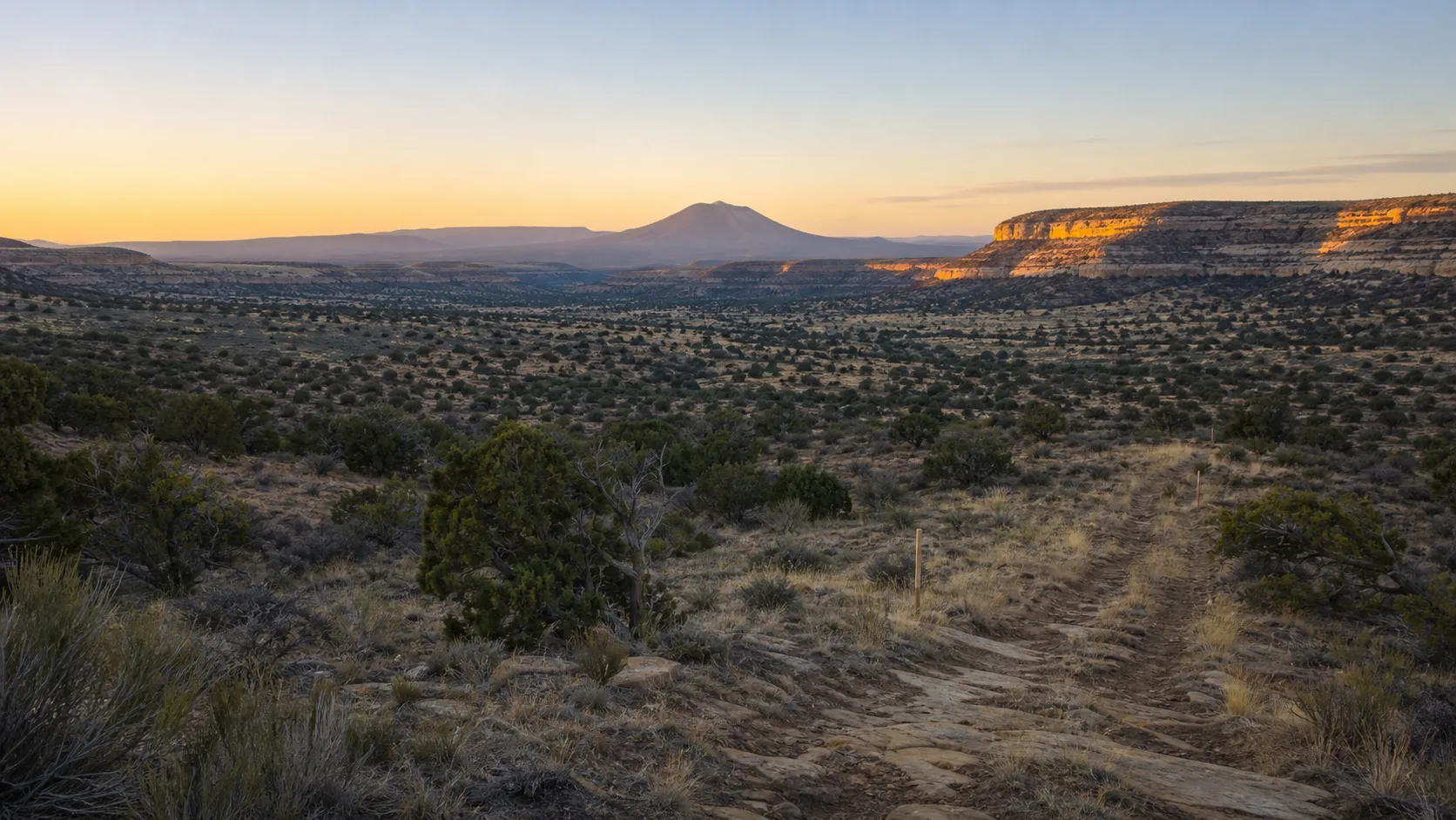
Veyo is easy to reduce to a dot on a map. That approach misses the relationships that give a rural place its character: roads that connect neighboring settlements, open land that frames daily life, water that limits growth, and public spaces that carry several kinds of meaning at once. A more useful reading begins with documents created for a specific purpose and then asks what those documents can—and cannot—tell us.
Washington County’s Veyo General Plan is the strongest public starting point we found. It describes Veyo as an unincorporated community along State Route 18, between St. George and Enterprise, and near several other small communities on the county’s western side. The plan also portrays a valley shaped by agriculture, grazing, private land, limited water, and a preference among residents for open space and a small-town setting.
That is valuable context. It is not a current census, a visitor bulletin, or a statement from every resident. The plan was adopted in 2011 and was built partly from planning meetings and questionnaires. We should read it as a documented snapshot of local priorities at that time.
What we know
The county plan places Veyo at a regional crossroads. State Route 18 provides the north–south connection, while a county road extends west toward Gunlock. The document identifies nearby communities in several directions and considers Veyo’s possible role as a small service center for the surrounding area.
The plan also emphasizes the valley’s rural land pattern. It describes agriculture and livestock as longstanding uses, notes that much of the valley is privately held, and repeatedly connects future development to limited water. Residents who participated in the planning process placed value on open space, quiet surroundings, a safe small-community atmosphere, and proximity to family, friends, mountains, and working land.
These details help explain why a cemetery and adjacent park can matter beyond their parcel boundaries. In a compact rural settlement, shared places may function as landmarks, memory spaces, gathering grounds, and reference points in the local landscape. That observation is a planning interpretation, not a claim about current programming or management.
A plan is evidence, not a live feed
Planning documents are designed to guide decisions. They often combine measured conditions, public comments, recommendations, and projections. Those categories should not be blended.
For example, a statement describing a road or land-use pattern at the time of adoption is different from a recommendation about what should happen later. A population estimate based on households is different from a decennial census count. A preference expressed in returned questionnaires is evidence about participating respondents, not necessarily a unanimous community position.
Dates matter too. Roads can be improved, land can change hands, and local institutions can reorganize. A claim that was accurate in 2011 may require fresh confirmation in 2026. Responsible local writing preserves the plan’s date near every important factual use rather than letting an older description sound timeless.
Reading the landscape without overclaiming
Several themes in the plan are suitable for careful interpretation.
First, water is part of the settlement story. The document treats water availability as a significant constraint on development. That makes conservation a legitimate historical and planning topic. It does not authorize us to state current water allocations, restrictions, rates, or service conditions.
Second, mobility shapes Veyo’s identity. The community sits on a state highway and connects to a network of smaller settlements. This can inform an article about rural crossroads and regional relationships. It does not establish present traffic volumes, road safety conditions, or travel times.
Third, land use is more than a zoning color. Agricultural fields, grazing areas, homes, public-purpose parcels, and small commercial sites create a layered landscape. A good account asks how those layers relate instead of implying that undeveloped land is empty or waiting for conversion.
Finally, public memory belongs within this physical context. Cemeteries are not isolated from settlement history. Their location, access, vegetation, and relationship to nearby shared land all develop over time. That does not mean every local history story can be attached to a particular burial or marker. People-specific claims require people-specific records.
Questions worth carrying forward
A place-based reader can use the plan to ask better questions:
- Which features described in 2011 remain visible today?
- Which recommendations were completed, revised, or set aside?
- How do residents now describe the balance between quiet rural life and regional travel?
- How have drought, vegetation, and development affected the appearance of the valley?
- Which institutions currently maintain shared spaces, and where are their authoritative notices published?
These are research prompts, not invitations to fill gaps with assumptions. Answers should come from updated county materials, responsible interviews, field observation made with permission, and records that clearly identify their date and creator.
What remains uncertain
The county plan does not establish current operating details for Veyo Cemetery. It does not provide verified present-day hours, entrance directions, accessibility conditions, contact information, burial procedures, lot availability, or rules for decorations and photography. It also does not settle present ownership or management simply by discussing the land’s public-purpose history.
The supplied organization filing address should not automatically be treated as the physical visitor entrance. A filing address can serve administrative or mailing needs. Directions require confirmation from the current operator or an authoritative current notice.
The safest conclusion is modest: Veyo’s rural setting can be described from a county planning record, but the record should remain dated, quoted sparingly, and clearly separated from current operational facts.
Sources
- Washington County, “Veyo General Plan” (adopted 2011): https://www.washco.utah.gov/wp-content/uploads/cdev/pdf/cgp/community-veyo.pdf
- Washington County Community Development, General Plan resources: https://www.washco.utah.gov/departments/community-development/general-plan/
- Washington County GIS, public mapping overview: https://www.washco.utah.gov/departments/gis/