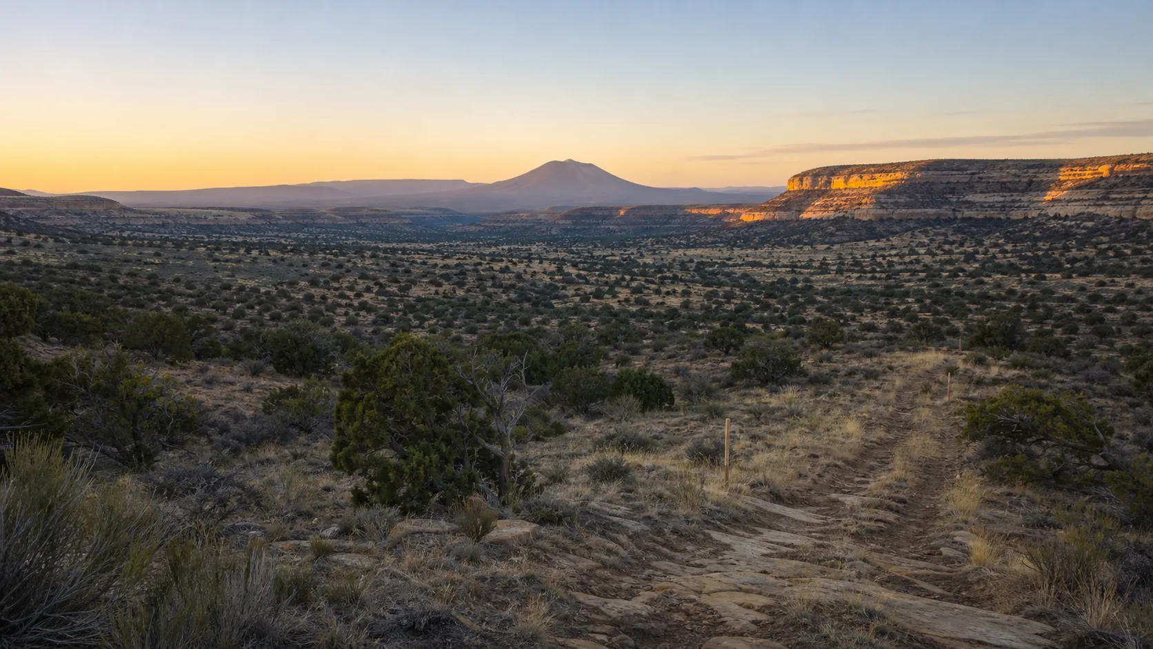
Repeat photography begins with a deceptively simple idea: return to the place where an earlier photograph was made, align the view as closely as possible, and compare. When it is done carefully, the pair can reveal changes in vegetation, roads, structures, land use, and sightlines that memory alone may blur.
Utah State University Extension’s Rangeland Resources Program publishes a Veyo Cemetery comparison built around a U.S. Forest Service photograph from 1936 and a later view made in 2007. Its description identifies the cemetery within the earlier scene and notes visible changes in landscaping, extent, and surrounding pinyon-juniper vegetation.
The comparison is a strong educational source because it preserves the dates, attributes the earlier image, names the later photographer, and explains why the second camera position could not exactly match the first. It also demonstrates an essential lesson: a photograph records a view, not a complete cause-and-effect history.
What we know
According to the USU Extension page, the original photograph was taken on September 2, 1936, and the repeat photograph on August 23, 2007. The page identifies the cemetery in the historic image and describes later landscaping and eastward extension. It also reports an increase in pinyon and juniper in the foreground and distance.
The program states that vegetation blocked the original camera station, so the later image was made from a nearby higher point. That disclosure matters. Even a small shift in position can change how slopes overlap, how large features appear, and what falls inside the frame.
The page also distinguishes image custody and authorship. The historic photograph is attributed to the U.S. Forest Service, with the original held in a Utah historical collection; the later image is credited separately. Those details allow a reader to trace provenance rather than treating an image circulating online as ownerless material.
How to read a matched pair
Start with fixed features. A distinctive ridge, cinder cone, road alignment, or horizon notch can help confirm orientation. Then examine features likely to change: tree density, fence lines, cleared ground, buildings, paths, and the visual edge of developed land.
Next, look for photographic differences that are not necessarily landscape changes. Season and recent rainfall affect color. Time of day changes shadows. Lens choice influences apparent distance. Film, scanning, and digital processing alter contrast. A higher camera can expose ground hidden in a lower view.
Finally, separate observation from explanation. “More woody vegetation is visible” is an observation. “A specific policy caused the increase” is an explanation that requires additional evidence. Grazing patterns, fire history, climate, land management, and natural succession can all influence pinyon-juniper communities. A photograph alone does not tell us the relative contribution of each.
Cemeteries are dynamic landscapes
A cemetery may be associated with permanence, yet its visible landscape changes continually. Trees grow and die. Irrigation and maintenance practices change. Paths appear. Fences move or are replaced. New interments alter developed areas. Views once open can become screened by vegetation.
Repeat photography can document those patterns without focusing on individual graves. A broad landscape view is often better suited to public interpretation because it centers land and time rather than turning personal memorials into visual content.
That does not eliminate ethical responsibilities. Researchers should avoid photographing ceremonies or grieving visitors without consent. Identifiable inscriptions should not become incidental illustrations merely because they are visible from a public route. Historic image rights and reproduction conditions must be checked before publication.
Building a responsible repeat-photography project
A careful project starts with a source record: image creator, date, collection, identifier, caption, known location, and rights information. Fieldwork notes should record the new date, approximate position, direction, lens or field of view, weather, and reasons for any mismatch.
The comparison should include an uncertainty note. If the original camera station is estimated, say so. If vegetation hides a feature, do not guess. If the older caption was created decades after the photograph, distinguish that later description from information recorded at the time.
Multiple repeat dates are more informative than a single before-and-after pair. A 1936/2007 comparison shows net change across 71 years, but it cannot reveal whether change was gradual, episodic, or partly reversed in between. Adding responsibly made views at regular intervals can turn a dramatic pair into a more useful sequence.
From visual evidence to deeper research
Photographs work best alongside other sources. County plans can document intended land uses. Aerial imagery can show boundaries from above. weather records can help explain unusually wet or dry periods. Meeting minutes may record a specific improvement. Oral histories can add experience, provided the interviewee’s perspective is identified as testimony rather than universal fact.
The goal is not to make the image say more. It is to let the image direct better questions.
What remains uncertain
The USU comparison does not establish the cemetery’s current extent, operating practices, ownership, maintenance authority, vegetation plan, or visitor conditions in 2026. It does not identify the cause of every visible change. The 2007 image is now itself a historical record, not a current view.
We also cannot assume that online access grants permission to reproduce either photograph commercially. Attribution and copyright are separate questions. A responsible publication can discuss the comparison and link to the institutional page while using independently created imagery unless reuse rights are confirmed.
Sources
- Utah State University Extension, Rangeland Resources, “Veyo Cemetary” repeat-photography page: https://extension.usu.edu/rra/photos/veyo-cemetary
- Washington County, “Veyo General Plan”: https://www.washco.utah.gov/wp-content/uploads/cdev/pdf/cgp/community-veyo.pdf
- Washington County GIS overview: https://www.washco.utah.gov/departments/gis/