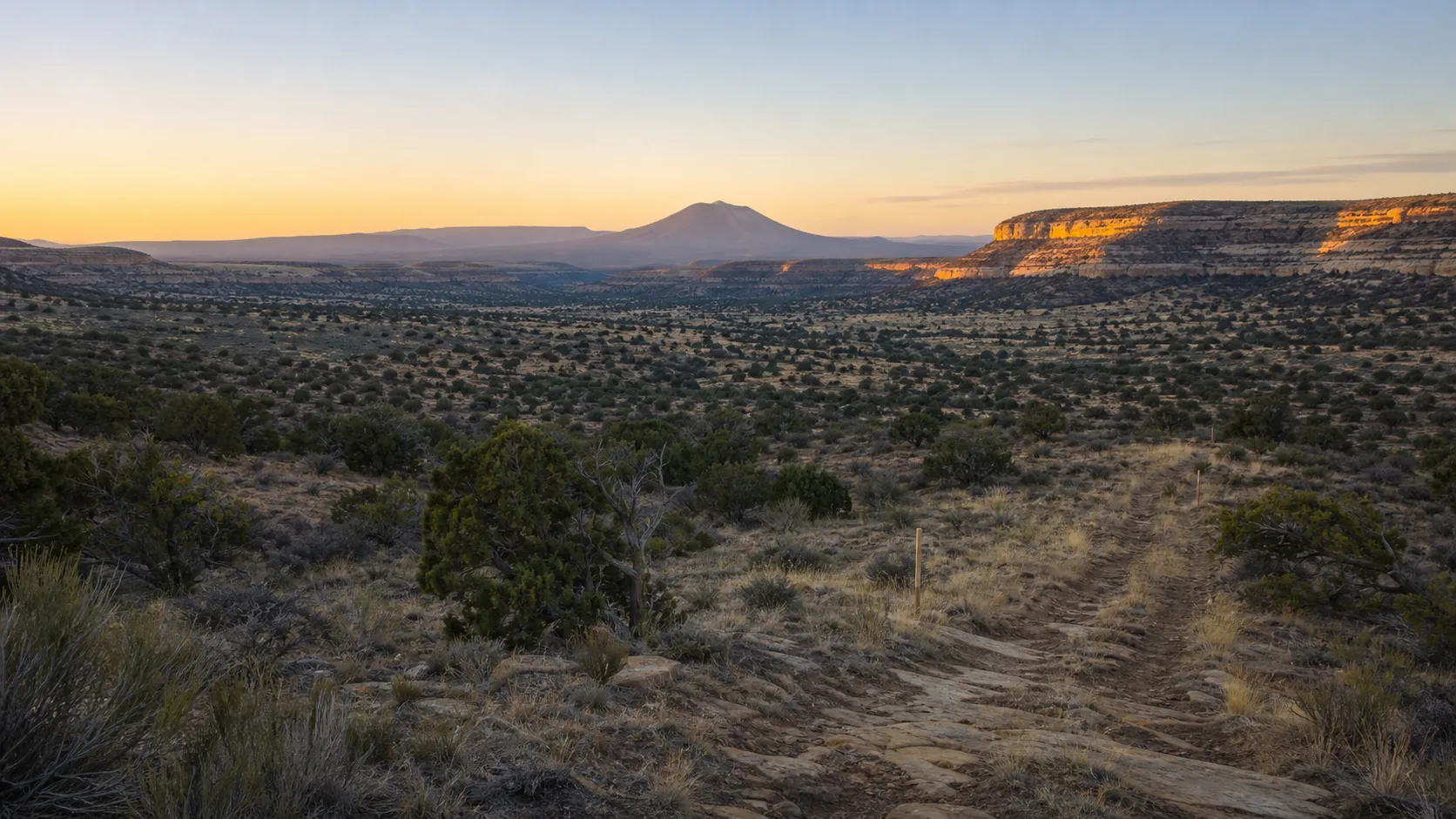
A heritage visit can look deceptively easy on a map. The distance from a parked vehicle may be short, the terrain may appear open, and the planned task may involve only a notebook and camera. In a high-desert environment, however, exposure begins immediately. Strong sun, low humidity, temperature swings, wind, storms, rough ground, and limited communications can turn a brief documentation session into a demanding outing.
Preparation is not a prediction that something will go wrong. It is a way to make small problems easier to solve before they become emergencies.
Check conditions, access, and limits
Review an authoritative weather forecast on the day of the visit and again before departure. Look beyond the daily high: hourly temperature, wind, lightning potential, precipitation, and flood watches may matter more. Storms can occur far from the site, and rain upstream can create dangerous flow in a dry wash even when the sky overhead is clear.
Confirm that the place is open to visitors and that your planned activity is allowed. Use posted information or contact the responsible land or cemetery manager when access is uncertain. Do not infer hours, road conditions, water availability, or cellular coverage from an old review. If a gate is closed or a route is posted against entry, choose another day.
Set a turnaround time and a narrow work goal. “Photograph one authorized section for forty minutes” is safer than “stay until the survey is finished.” Research can be continued; a heat or storm window cannot be negotiated.
Tell someone the plan
Leave a written itinerary with a person who is not joining the trip. Include the destination at an appropriate level, intended route, vehicle description, departure time, expected return, and when that person should seek help if you do not check in. A social-media post is not a substitute for a direct plan with one responsible contact.
Download maps and notes before leaving reliable service. Carry a charged phone, but do not treat it as guaranteed communication or navigation. A paper map or clear written directions provide a useful backup. If the site is remote, consider whether the visit should be made with a partner rather than alone.
Dress for exposure, not the photograph
Wear sturdy, closed footwear suited to loose rock, holes, thorns, and uneven ground. Choose light, breathable coverage, a broad hat, sunscreen, and eye protection for bright conditions. Bring a warm or wind-resistant layer even when the afternoon is hot; desert temperatures and weather can change rapidly.
Carry adequate drinking water for the outing plus a reserve. Drink regularly rather than waiting for severe thirst, and do not assume water will be available at the site. Bring simple food appropriate to the duration and your needs. People with medical conditions should plan within advice from their healthcare professional and avoid using a general field guide as individualized medical instruction.
The National Park Service advises desert visitors to protect themselves from sun, carry ample water, know their route, and leave an itinerary. Ready.gov recommends reducing high-energy outdoor activity during midday heat and learning the signs of heat illness.
Ethics & safety box
No photograph, transcription, or research deadline justifies staying through worsening heat, thunder, flooding, poor visibility, illness, or an unsafe site condition. Turn back early. Do not shelter in a wash, under an isolated hazard, or beside an unstable monument. In a life-threatening emergency in the United States, call 911 if communication is available.
Read the landscape while working
Pause regularly and scan the sky. Wind shifts, building clouds, thunder, blowing dust, sudden cooling, or rising muddy water are reasons to reassess. Leave canyons, washes, and low areas before a storm reaches them. Never drive or walk into floodwater.
Watch the ground as carefully as the subject. Cemetery plots, old foundations, animal burrows, eroded edges, loose wire, broken glass, and vegetation can be difficult to see while looking through a camera. Do not back up for a wider composition without turning around to inspect your path. Keep away from leaning markers, walls, and fenced hazards.
Wildlife should be observed from a distance. Do not reach into holes, place hands where you cannot see, feed animals, or disturb nests. Pack out all food and waste.
Field checklist
- Check hourly weather, warnings, wind, and storm potential.
- Confirm current access and activity rules.
- Define a limited task and turnaround time.
- Share an itinerary and check-in plan.
- Download maps; carry a non-electronic backup.
- Bring a charged phone and reserve power.
- Carry water, food, sun protection, sturdy footwear, and layers.
- Include a basic first-aid kit and any personal medication.
- Work with a partner when isolation or conditions warrant it.
- Stop immediately for illness, thunder, flood risk, or unstable terrain.
Close the loop after the visit
Check in with the person holding your itinerary as soon as you return. Note hazards, access changes, and weather limitations in the project log so the next visit can be planned more safely. Do not publish precise coordinates for fragile or vulnerable sites merely because your device recorded them.
A well-prepared outing may end earlier than planned and produce fewer images. That is not failed research. It is evidence that the visitor understood the setting, protected the place, and kept enough margin to return another day.
Sources
- Ready.gov, “Extreme Heat”: https://www.ready.gov/heat
- National Park Service, “Planning for a Desert Hike”: https://www.nps.gov/articles/000/arches-hike-planning.htm
- National Park Service, “Hovenweep National Monument — Safety”: https://www.nps.gov/hove/planyourvisit/safety.htm
- National Park Service, “Monsoon Season”: https://www.nps.gov/articles/monsoon-season.htm
- National Weather Service, “Heat Safety Tips and Resources”: https://www.weather.gov/safety/heat